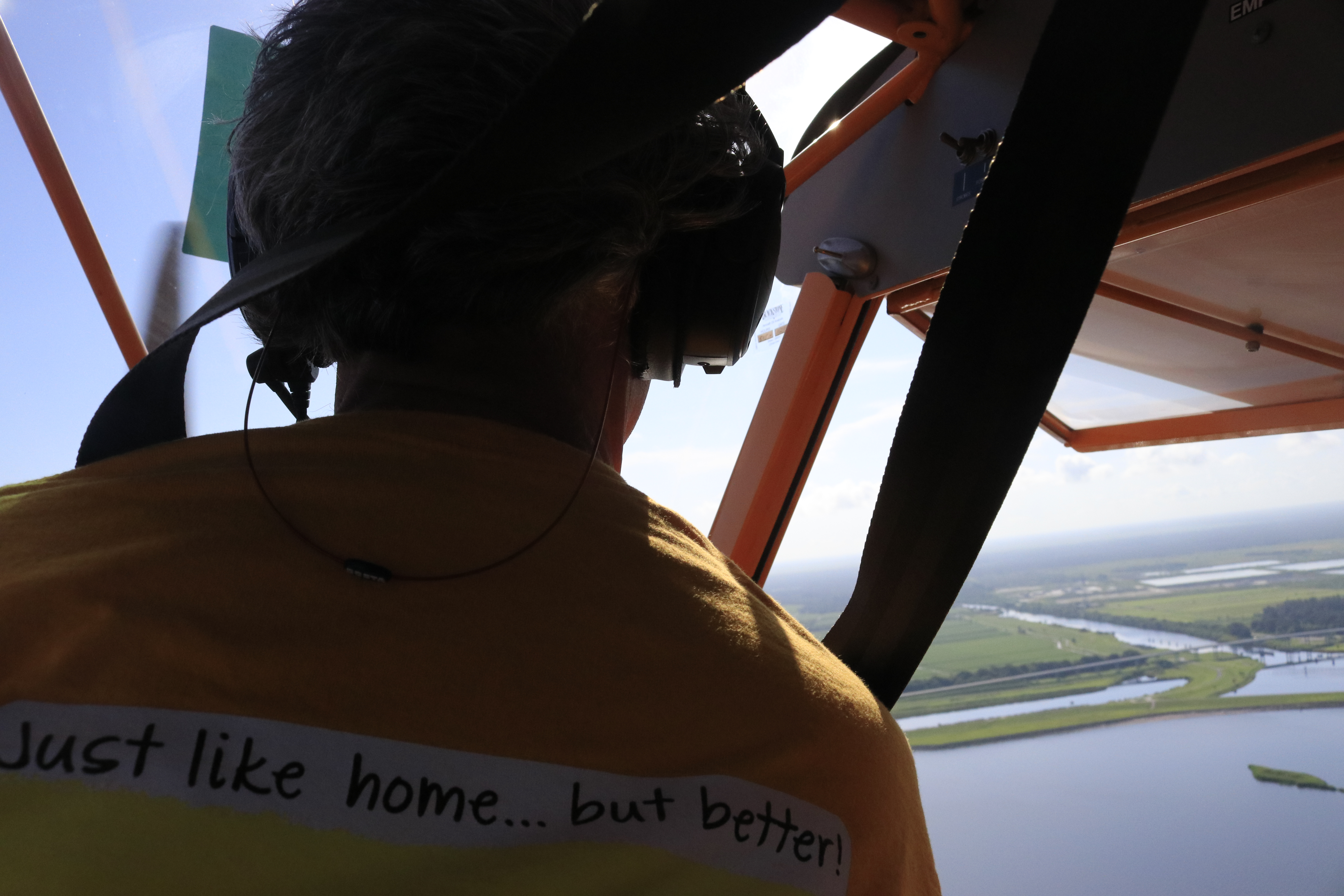
Ed’s comment when he came home from flight yesterday was “not as bad as last time.”
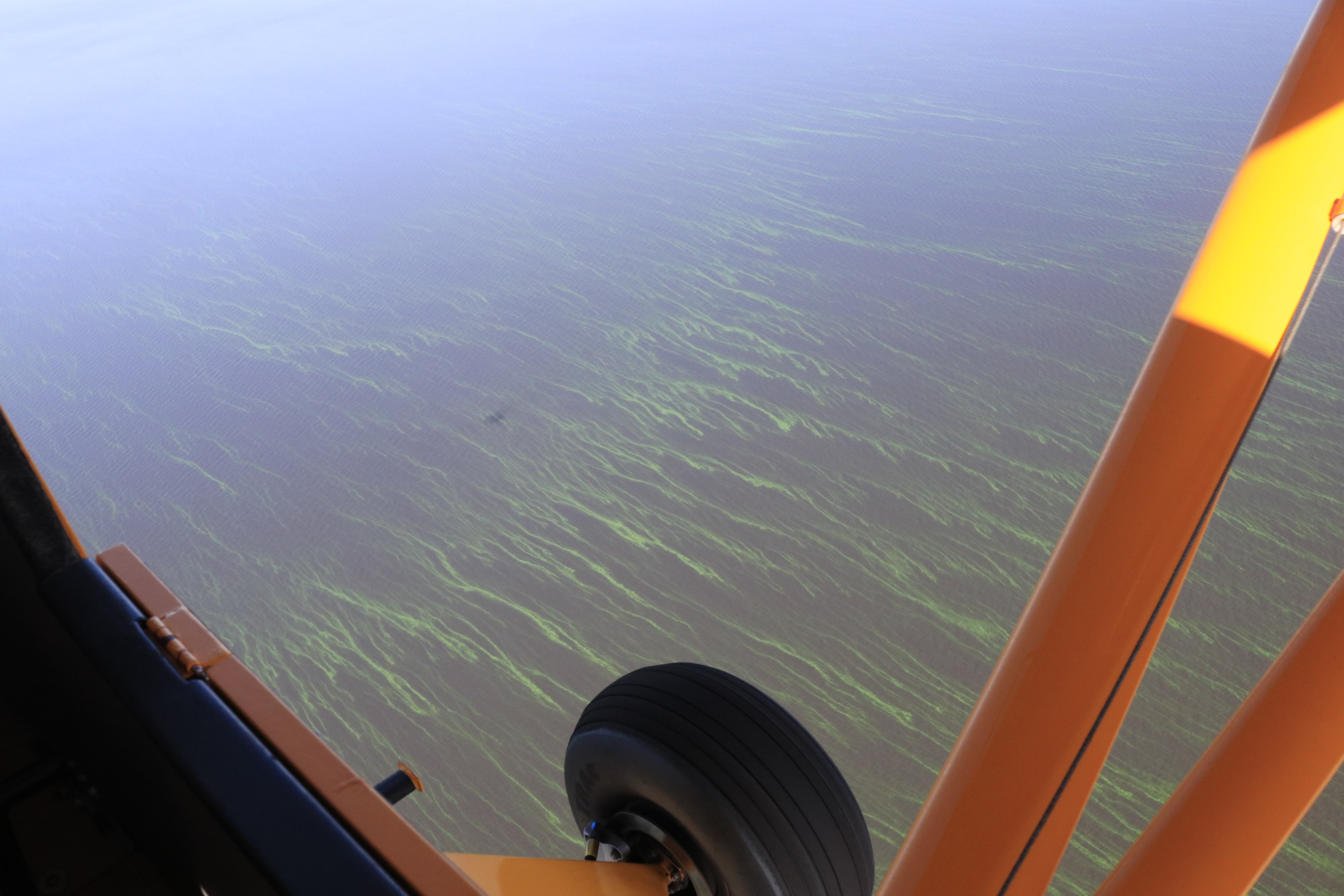
Today’s aerials were taken 8-6-23 around 1:30pm. One can see blue-green algae, along the eastern shoreline of Lake Okeechobee, but not as much in the C-44 canal.
The St. Lucie River looks a bluer near Sewall’s Point- perhaps thanks to recent full moon tides and less rain runoff. Seagrass meadows covered in increasing a cyanobacteria and macro algae are visible. The seagrass is returning, but not in as good a shape, after massive and longterm Lake O discharges in 2018, 2016, and 2013 and decades of destruction.
Sandbar near St. Lucie Inlet, 8-28-23, FB Mike Yustin
Ed and I continue to be your “eye in the sky” and Todd is helping all of us keep an eyeonlakeo now at 15.30 feet according to the SFWMD. Hurricane season should start ramping up. It is not a good situation. More water should be able to be sent south as God intended.
~Lake O, Rim Canal, and C-44 at Port Mayaca’s S-308
~St. Lucie River-Indian River Lagoon. Sewall’s Point divides these waters.
~Note seagrass beds in next two photos. Once 700 acres now much less and impaired. Good to see it in any case!
Thanks Ed!Canal system of CSFP SLR/IRL. credit SFWMD
Ed took a pre-Easter flight in his new RV plane on April, 16, 2022 at 10am. He flew from Witham Field in Stuart west to Lake Okeechobee, back over parts of the C-44 Canal, and then over the St Lucie Inlet.
We are at the hight of the dry season. Once the wet season begins in the next couple of months, conditions will drastically change. We can use these photos as an “end of dry season base line.”
The St Lucie River/Indian River Lagoon looks very good as we have had little rain and no major Lake O discharges in three years. See page 14 below of “SFWMD Environmental Report,” – meeting date 4-14-22.As far as Lake O, although on April 8, 2022, the Martin County Health Department issued a cyanobacteria (blue-green algae) warning for area near Port Mayaca and Lake Okeechobee, blue-green algae was not visible from the sky. Please read press release.
We must stay vigilant.
I.
-Lake Okeechobee at S-308, Port Mayaca
II.
-C44 Reservoir/STA at Indiantown-at 10 feet being filled and check for safety by ACOE
-C44 STA and intake canal from C-44 canal
-More of Reservoir and STA -Caulkins Water Farm next to C-44 R/STA
My husband and I have decided we are algae hunters…
Hello Readers. Hope you are having a good summer!
Even though I am supposed to be on a “blogcation,” my husband, Ed, and I decided to fly over Lake Okeechobee this morning as yesterday Dr Susan Gray of the South Florida Water Management District reported on the Army Corp of Engineer Periodic Scientist Call that recent Landsat Satellite images had revealed significant algae in the middle of the lake- – – an area known as “LZ40.”
Sure enough, once Ed and I got up in the air, just a few miles west of Port Mayaca, the strings of bright green algae were visible from about 1000 feet —-looking down— up to as far as eye could see…
Very strange to be surrounded by water and bright-colored lines of algae; it resembled miles of suspended fluorescent paint. I have heard the scientists talking about how the algae comes up in the morning for sunlight and then goes back down into the water column later in the day. It is intelligent, like an animal, and knows how to hide. You have to track it….
The living bloom was quite extensive, going on for many miles. My photos do not do the color or amount justice, but do document. This is important.
Thank God the ACOE is not dumping into the St Lucie River/Indian River Lagoon this summer. Poor lake O, on the other hand, has been getting “backwards flowing” C-44 water and back-pumped water from the EAA, STAs, and WCAs. No wonder its a mess!
Thank you to the SFWMD for the heads up! We do appreciate your work. We have inherited and created “quite an animal.”
*Reader, Professor Geoff Norris recommends we ask NOAA to create a bulletin for Lake O like this one here for Lake Erie since basically we are “in the same boat:” I think this is a great idea. I will have to contact NOAA.
Tracking of journey upon return from Ed’s watch 7-19-17 around 9amCenter area of Lake O LZ40 is where SFWMD reported 7-18-17 that algae was showing on Landsat satellite images
Ed approaching Lake OkeechobeeFPL pond, Herbert Hoover Dike, and Lake OS-308 and dikeAlgae starts to appear just a few miles outAlgae get thicker and brighter as we continue flying west