*Please note all comments become public record.


We continue to document the discharges…
Yesterday, 3-17-19, my husband, Ed, flew the Super-Cub over the St Lucie River/Indian River Lagoon ~ twenty-one days after the ACOE started discharging from Lake Okeechobee on February 24, 2019.
When Ed arrived home, I asked, “So how was it?”
“Brown,” he replied.
“Like dark coffee brown, or kind of like that weird mixed greenish-brown?”
He looked at me, and smiled. “Jacqui, it was brown.”
“OK, I said, I’ll take a look at your photos.”
So here are the photos from Ed’s flight from Witham Field in Stuart, over Sewall’s Point and Hutchinson Island, then out west to S-80 to see the “Seven Gates of Hell” where you can see the one gate discharging now at an average of 250 cubic feet per second, down from an average of 500 cubic feet per second. As you can see from the SFWMD chart below, there has been other runoff locations as well, but the majority is from Lake Okeechobee.
ACOE Press Release: 3-14-19, ACOE, showing decision to go to 250 cfs to SLR/IRL. ACOE says they are “pulse releasing,” however, these are not the “pulse releases” we are familiar with during prior discharge destruction events, as the number never goes to 0, it just goes up and down. https://www.saj.usace.army.mil/Media/News-Releases/Article/1784910/corps-to-continue-lake-o-release-plan-with-minor-adjustments/
Thank you to my husband Ed, for showing us that right now, the river is brown.


The following phots are of Caulkins Water Farm, a former orange grove that died due to citrus greening that now holds water from the C-44 Canal. This is a wonderful thing! As local ag-man Mr. Hadad, told me once, “Jacqui we spent 100 years taking the water off the land, and we’ll spend the next 100 years putting it back on.” The later photos are of S-80 again with view of C-44 canal leading west to Lake O.(https://www.facebook.com/CaulkinsWaterFarm/)


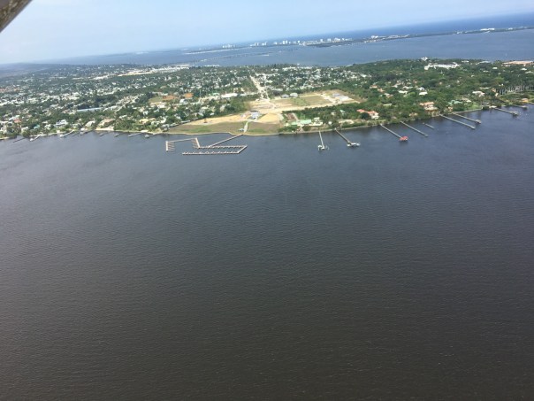
The following photos are when Ed headed back to Witham Field going once again over the St Lucie Inlet over the Atlantic Ocean. You can see the water looks blue north of Sailfish Point north of the inlet with nearshore reefs visible. Plume is also visible south of St Lucie Inlet. Also in photos is the winding Jupiter Narrows and St Lucie River in the area of Stuart and Rio. You can see Langford Landing with scraped orange soil and docks built into river still under construction since 2015.
Thank you to my husband Ed, our eye in the sky!