Tales of the Southern Loop, Stuart to Boyton, Part 1
Tales of the Southern Loop, Boyton to Miami, Part 2
Tales of the Southern Loop, Miami to Tavernier, Part 3
Tales of the Southern Loop, Tavernier to Marathon, Part 4
Tales of the Southern Loop, Marathon to Key West, Part 5
Tales of the Southern Loop, Key West to Cape Sable, Part 6 -Sunrise and setting moon, Key West

September 15, 2020
Before Ed and I left Key West, we were able to rid the trawler of the smell coming from the head’s sanitation system. It took three trips to West Marine, multiple pump-outs, flushing with extra water, enzyme cleaners, and most important, changing the vent filter. The whole situation made us much more careful and aware.
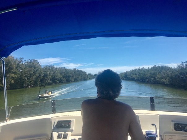
Excited to overcome yet another obstacle, Ed and I pulled away from a rooster crowing sunrise for what would be the most memorable leg of our trip, Key West to Cape Sable. This was unlike any other in that it was eight hours, alone, in wide Florida Bay for about 70 miles at 7 knots!
We saw pretty clouds, blue skies, turquoise-blue waters, bobbing seagulls, cormorants flying as fast as ducks, two pleasure crafts, one crab boat, and one shrimp trawler. But that was it, most of the time it was just Ed, me, and crab pots as far as the eye could see!
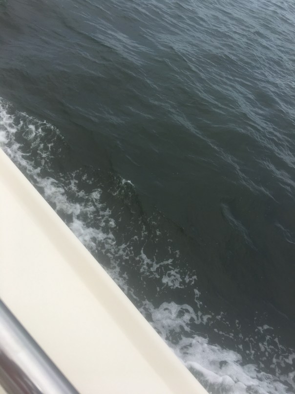
-Happy to be safe at sea After about an hour, the wind started picking up. I put on a life vest as the sea began to swell. I imagined that if I did fall in there would be no way to be rescued as I would quickly be carried off. My imagination started to roam. Staring out to the empty horizon, I started to think, about pirates…
-A shrimp boat in the Gulf of Mexico/Florida Bay off Key West “Ed what would happen if someone came up to the boat and asked us for all of our valuables.”
“It won’t happen.” Ed replied.
“How do you know?”I asked looking off into the wide distance.
“Because I’ve read. Pirates don’t frequent these waters, and if they did, they wouldn’t be attracted to a boat like ours.”
“Why do you say that? We’d be perfect. We can’t speed away.”
“Don’t worry so much Jacqui.”
“Why shouldn’t I?
“There’s nothing to worry about; plus I brought a gun.” Ed slowly replied.
“A gun!” I exclaimed. “If we’re not going to get approached by pirates, why did you bring a gun?”
“Just in case.”
“Holy —- Ed! That certainly doesn’t make me feel any better!”
I exhaled, trying to calm down.
During the course of our conversation the swells got steadily larger, up to 5 feet coming from our stern, and off to the side, our beam. Adrift was dancing in the motion!
“I didn’t know waves in Florida Bay could be so big. I exclaimed. “Why didn’t you tell me?”
“Jacqui, come on, it’s part of the Gulf of Mexico.” Ed peered through binoculars. “What are you looking for? Pirates?”
“No, just looking.” Ed replied.
“Ed, I’m not feeling so good. These waves. This is crazy.”
“Do you want me to turn around?” He asked, getting irritated.
“No.” I conceded. “Since we’ve been out here this long, we might as well go the whole way.”
The trawler hit hard against the ocean, fear got the best of me and I wondered if the boat might eventually break into pieces.
“Could this thing start coming apart? I inquired, holding my hand over my mouth. Metal creaked and the hull hit relentlessly. With each strike I daydreamed of balancing on a piece of the crushed hull in my bright yellow life vest of course surrounded by sharks.
“I don’t think so,” replied Ed.
“I’m going down; I think I’m going to be sick.”
“Holding on for dear life, I stumbled down the stairs from the upper helm to the stern.
“Oh no,” I thought to myself, “I don’t feel good at all.” I walked into the cabin and then into the head, sat down on the toilet, and suddenly projectile vomited. It was bright red as I had been drinking tropical punch Gatorade and raspberry yogurt. I stared in disbelief. I felt terrible. The exaggerated wave motion was even more pronounced in the cabin. I held on for dear life.
“This is unbelievable; this is no fun!” I got myself together, stumbled through the cabin hitting walls. With one arm always holding on to something, I grabbed a hand towel, wiped my face, and struggled up the stairs to the upper upper helm.
And there I saw him. Ed was in his element! Loving it! Like a cowboy on a wild mustang.  I sat myself down, holding on to a metal post that was creeping like a Halloween set. I looked up: “Ed, “I puked.”
“I figured as much. Feel better? “
“Oh no! It’s happening again!” Adrift sunk deep into a wave then popped back up. I leaned over, and let go. Ruminants of tropical punch Gatorade and yogurt splattered everywhere. This was not good. I was embarrassed.
Ed softened. “Babe lay down; I’ll clean it up later. It will be less bouncy up here.” Ed and I had been through such exercises many times as I had thrown up in the plane over the years when flying over Lake Okeechobee to take pictures of harmful algae blooms.
I put my head down on the cushion but no matter how hard I tried, I could not rest. The seas tossed and slowed our progress.
I raised my head. “How much longer?”
” A couple hours….” I lay down again praying for it to be over.
As I lie in agony, I asked the same questing multiple times – about two hours apart: “How much longer?” Ed’s answer was always the same. “Two hours.” I eventually realized that if that were true, we would have already been there! This was the most extended motion sickness episode of the many I had had in my life. I couldn’t wait for it to be over.
Eventually, the waters started to calm down and our destination, Cape Sable, came into to focus before us. As always, as soon as I was on stable ground, I felt better. My spirts rose, we easily dropped anchor, and planned an excursion. Looking towards the untouched shoreline was incredible!
“This must be what Ponce de Leon felt like.” I said beaming.
-Map 1859
“Hey, isn’t this where that little tongue-twister of a bird is originally from?” Ed asked.
“Good job Ed! Yes!” The endangered and controversial Cape Sable Seaside Sparrow! It was the changes and destruction brought to its habitat from the 1935 Labor Day Hurricane, and Hurricane Donna in 1960, that caused it to adapt further up the Florida peninsula-where the Central & South Florida Plan had drained the Everglades. Unfortunately the little bird chose to live just south of Tamiami Trail where we now want to move more water south.”
“I wonder who will win that one?” Ed joked. “The Endangered Species Act is sacred for you environmentalists.”  Like young kids, Ed and I explored a dying mangrove forest, endless shells, flora, and wildlife around Ingraham Lake. Just north-interior lie famous Whitewater Bay and Shark River Slough, all within dingy distance. A veritable eco-playground!
I found the sands most beautiful, crushed shells from millions of years all mixed together. This makes sense as Cape Sable is the southernmost point in the United States, all left to flow, flows here. Thankfully it lies protected within Everglades National Park. And thought humankind and Climate Shifts are rapidly changing its nature, Cape Sable remains absolutely stunning in its timeless and weathered beauty.
-Cape Sable, Everglades National Park -Taking the dingy to Cape Sable’s shore. Ed wondered why the water was so murky. “It’s an estuary!” Water coming from Shark River Slough into Florida Bay.
 -Adrift at her destination, Cape Sable
 -On the desolate beach, Cape Sable
 -Shells, and ancient Inidan midden remains


 -Dead and dying but strikingly beautiful mangroves like art from many hurricanes


 -Land snails
  -Many shells were pierced and attached to the weathered mangroves

 -On the other side of this marsh lies Lake Ingraham
 The whole experience was otherworldly- as if Ed and I were the only people in the world! As the sun set we made dinner and drank wine – watching the stars appear one by one until the entire Milky Way shone above us like a glistening blanket. Just incredible! We sat in the upper helm and discussed philosophy like we were students of Plato or Galileo. I had no memory of my motion sickness earlier in the day…
A gentle breeze blew, Ed held me under the stars…
“I love you.” I said softly into to his ear…
And then I continued…
“but I might as well tell you right now, you’ll be sleeping with the gun, by the door, in the cabin tonight, just in case the pirates do arrive.” 🙂
 “Sea you next time! Cape Sable to Marco Island!” 🙂
 Friday night, August 6, 2021, Ed, Luna, Okee and I spent the night on Adrift, after meeting up with “Cinnamon Girl,” the craft of Dutch and Mary Radabaugh. Their name may ring a bell as Dutch and Mary were the face of Central Marine during the infamous toxic algae outbreaks of 2005, 2013, 2016 and 2018. Fortunately, there is no blue-green algae bloom in the St Lucie/Indian River Lagoon today as they ACOE has not discharged from Lake Okeechobee since April 10, 2021 due to algae sitting at the gate of Port Mayaca.
 Indian River Lagoon. There’s Cinnamon Girl!
  -Ed with Luna going to say “hi!”
 -Dutch with Holly
 -Okee stays inside Adrift. She likes sitting on maps.
 -IRL at sunset, silvery.
  -After a peaceful night’s sleep under the stars, Okee awakes to watch a golden sunrise


 -Sun’s up! Time to paddleboard and check out the conditions. JTL, Mary, Dutch and Ed.
 -Ed takes a break
 -Water brownish from rain and canals C-23/24. Greenish in bright light.
  -Mangrove island in the area known as the Sandbar. Many birds roosting! Mostly ibis.

 -Bare bottom with a some seagrasses surrounding mangrove island and sandbar area. Mary noted in 2007 this area had very lush seagrasses that have since been destroyed by Lake O discharges. Today there are sprigs.


 -Water looking greenish in bright light
  -Ed checking out the conditions and happy as a clam
 -Macroalgae (below) coats everything ground and seagrasses- not good. Many believe this system is replacing seagrasses through out the IRL. Water quality is key to keeping seagrasses!
  After our journey out we return to Cinnamon Girl. There are visitors!
 -Nic Mader and I relax. Nic is a dolphin specialist. Bottlenose dolphins like all creatures of the IRL are intricately connected to the seagrass habitat and the life that grows there.
 -Getting some exercise
 -Rains are beautiful falling in giant sheets from the sky!
  -Nic paddles towards home while looking for dolphins.


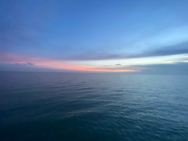
 -Saturday afternoon, on our way back to the Harborage Marina in Stuart. Another memorable sunset…