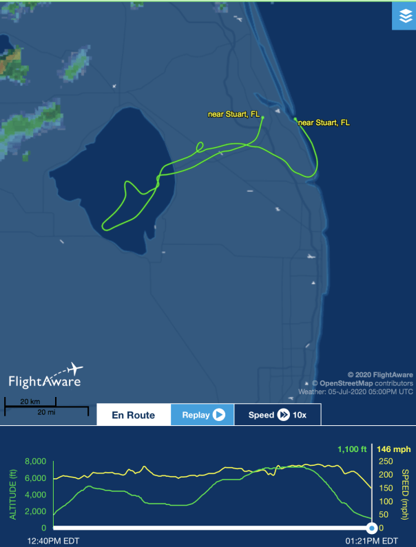
 Keeping up the Lake Okeechobee algae bloom documentation, Ed and I flew from Stuart to Lake Okeechobee during a hazy, hot high-noon, on Sunday, July 5, 2020. The algae was much toned down from our previous flights in June. Nonetheless, one could see the pattern, the outline, of the giant bloom from above. Rain may have disrupted its perk but the bloom remains in the water column. The most visual appeared to be in the middle of the lake and again, about a mile or so off Port Mayaca.
I have included photographs of the journey: St Lucie River at Palm City; flying over western lands and under construction C-44 Reservoir/STA ; FPL cooling pond; algae in Lake O; Clewiston; south rim of lake with agriculture and sugar fields; Indiantown and Hwy. 710; DuPuis and Corbett Wildlife Areas; one glance back to Lake Okeechobee; and an updated 2020 “Covid-19 portrait” of Ed and me.
We will continue to document throughout the summer. Keep up the fight! Stop the Discharges! Stop the Algae!
~Your eye in the sky
Jacqui & Ed


This shot, below, was taken flying back east over the Village of Indiantown. Highway 710 is seen bisecting neighboring Dupuis and Corbett Wildlife Area and John and Mariana Jones Hungryland Wildlife Area. I will be writing more about the protected areas and the highway that cuts through them in the future.


Great job
Thanks so much