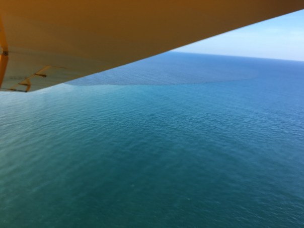
My husband Ed, and friend, Dan Velinsky, went fishing yesterday (2-9-21) at “Sailfish Flats” between Sewall’s and Sailfish Point. It was indeed a spectacular day, and Ed returned home smiling even though they didn’t catch any fish. “It was beautiful.” He exclaimed. “But no seagrass, no fish, except hiding by the islands…” Then he turned with wide smile: “We even saw seven dolphins and two turtles! I taped them!”
The whole time Ed was speaking, I couldn’t help it…
I saw a number flashing in my head: 15.41, the level of Lake Okeechobee on February 9, 2021. This number is high from a St Lucie point of view for this time of year. In June will come rainy season….
As ACOE’s Col. Kelly reported last week, the lake is going dow, but: “Today, the lake stage is at 15.42 feet, which is still 2.5 feet higher than it was one year ago, and 2.7 feet higher than it was two years ago.”
FLASH! FLASH!
I share Ed photos “on a perfect day,” to document- knowing – we must keep an eye on Lake Okeechobee and the decisions of Army Corp of Engineers .
12-4-17, ca. 2:45 pm, photos: Ed Lippisch & Jacqui Thurlow-Lippisch
The Army Corp of Engineers has lessened but not stopped Lake O discharges that started September 20th, 2017 just prior to Hurricane Irma. Perhaps as the discharges have gone on at such a high rate for a comparatively long time, the plume has had a chance to extend its territory. In yesterday’s photos, the dark, filthy plume is reaching clearly south beyond the exclusive Town of Jupiter Island.
Yesterday was a beautiful day, but the river and ocean waters of our entire region were ugly, possibly contaminated. How are we to enjoy our property and lives here?
When viewing the aerials below, please note the blue, sapphire-colored water just on the edge of the discharge plume. Yes, of course all estuaries put forth darkened fresh water after a rain event, and Ed and I could see this occurring just south at Jupiter Inlet. Nonetheless, the black, gigantic plume that we repeatedly endure for the St Lucie River/Indian River Lagoon due to discharges from Lake Okeechobee is an aberration.
Please let’s all support Joe Negron and the public’s work to build the EAA Reservoir; clean & send the water south!
 My husband Ed, and friend, Dan Velinsky, went fishing yesterday (2-9-21) at “Sailfish Flats” between Sewall’s and Sailfish Point. It was indeed a spectacular day, and Ed returned home smiling even though they didn’t catch any fish. “It was beautiful.” He exclaimed. “But no seagrass, no fish, except hiding by the islands…” Then he turned with wide smile: “We even saw seven dolphins and two turtles! I taped them!”