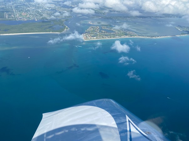
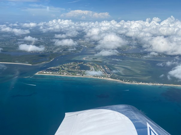
 We spend so much time on the coasts, it’s fun to get in the car and cross the state. Ed, the dogs, and I, did just that over the weekend. We saw close-up things we had only seen by air.
What struck me most?
How beautiful the drive was really, but also how there is not an inch of the state that seems untouched.
We saw Taylor Creek, famous for its pollution issues, on the northeast side of Lake Okeechobee that has been channelized like just about every other river; then the famed Kissimmee River of which some has been restored, nonetheless at the bridge crossing it looked dry and unnatural. I thought to myself “this would once have been all floodplain…”
Fort Basinger is also right there at the bridge crossing, a famous place during the Indian Wars, built by General Zachary Taylor, who became the 112 president of the United States. Close to Sebring on Highway 98 there must have been 20 osprey nests atop the telephone poles! There were signs noting that 98 and others were part of the “Great Florida Cattle Drive.” As I was reading about it on my phone, Ed was telling me to look out the window to see all the chicks with their heads sticking up!
So pretty, and then miles of orange groves, a wonderful sight, as most of Martin’s are dead from greening. And boy, wow, near Mulberry, the phosphate mines! Giant landfills hovering over the landscape. ~Bone Valley and the riches of phosphate mining for fertilizer production, the exact thing that is causing our waters to become impaired and eutrophic, supplying not just Florida but the world. And to think just a couple of years ago one was swallowed up by a sink hole! Radioactive water and all…I could not find out where it went.
Once we got to the west coast near Tampa Bay, the Little Manatee River was lovely although a bit tired looking. Interesting that there is a reservoir in the middle for water supply.
The drive back? More oranges, farmlands, ospreys, lakes, and phosphate mines. Most fun reaching YeeHaw Junction and buying some Plant City strawberries. I made a shake on Sunday morning; strawberries never tasted so good!
I really recommend a day trip across the state. See what’s there. So much is like “Old Florida.” Any Highway will do. Best to zig-zag through, and enjoy the ride.
PHOTOS FROM OUR TRIP
Highway 714 Martin County to Lake Okeechobee:
Taylor Creek at Lake Okeechobee

Wonderful Sable Palm Hammocks

Kissimmee River channelized as C-38, 22 miles now restored


Fort Basinger


Osprey nests & Orange groves
Phosphate Mining


Little Manatee River


Mosiac sign and osprey nest heading back east

Approaching YeeHaw Junction a crossroads for many decades!


Links:
Martin Grade, 714:
Martin Grade Scenic Highway
Taylor Creek:
https://www.sfwmd.gov/document/lake-okeechobee-watershed-stormwater-treatment-areas-stas-taylor-creek-and-nubbin-slough
Fort Basinger and Kissimmee River Valley:
https://www.floridamemory.com/items/show/125432
http://www.fortwiki.com/Fort_Basinger
SWWMD:
https://www.sfwmd.gov/our-work/kissimmee-river
Florida Cracker Trail: http://www.waymarking.com/waymarks/WM2WWJ_The_Florida_Cracker_Trail
Phosphate Mining DEP: https://floridadep.gov/water/mining-mitigation/content/phosphate
http://www.fipr.state.fl.us/about-us/phosphate-primer/phosphate-and-how-florida-was-formed/
Sink Hole: https://www.wuft.org/news/2016/09/20/concerns-continue-over-polk-county-phosphate-sinkhole/
Little Manatee State Park: https://www.floridastateparks.org/parks-and-trails/little-manatee-river-state-park


 -Roosevelt Bridge, St Lucie River


 -Shawn Engebretsen flies his T-6 on the edge of the Atlantic Ocean & IRL

 -June 11, 2022 South Sewall’s Point, JTL. My mom lives in North Sewall’s Point.


