Documenting the Discharges, Saturday, April 3, 2021.
Since last week, the ACOE has lowered discharges to the St Lucie River from 500 cubic feet per second to 300. The lake is now down to 14.44 feet from over 16. Blue-green algae has been spotted in the C-44 canal near S-80 at St Lucie Locks and Dam. This canal connects Lake O to the St Lucie River and blue-green algae is always of concern as reported my Max Chesnes of TCPalm. Ed and I saw no algae at S-308 on Lake Okeechobee from the air. The water does have an odd hue-perhaps due to wind. We did not get over S-80 due to weather conditions.
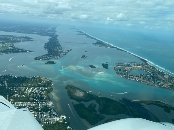
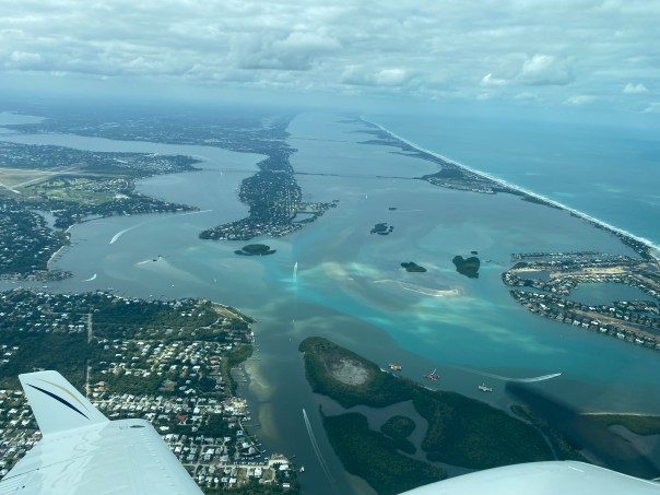
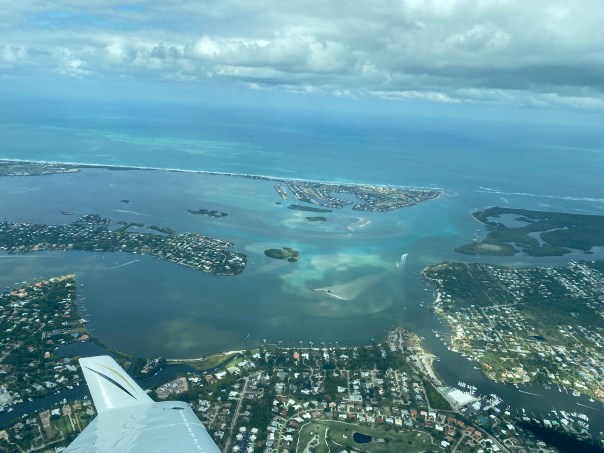
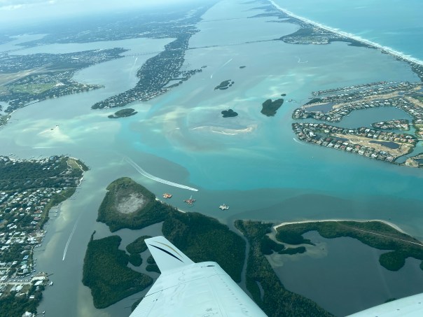
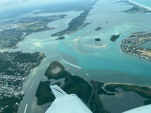
This go around, the ACOE began discharging on March 6, 2021 to the St Lucie River, so yesterday, when these photos were taken it was 28 days after the discharges. The aerials were taken from about 3000 feet, at approximately 3:30pm, on an outgoing tide. Conditions were windy, cloudy, and all waters were stirred-up.
Please note federal, state, and local links on subject following photographs.
~Wishing all a Happy Easter and Spring time! See you next week. Ed & I will continue to document the discharges.
J&E
Running images of S-308 at Port Mayaca, Lake Okeechobee and over the St Lucie River/Indian River Lagoon near Sewall’s Point the dividing peninsula of these waters-merging at the Crossroads and Sailfish Flats near the St Lucie Inlet. Photos Ed Lippisch. 











USACE to reduce Lake Okeechobee releases beginning April 3, 2021.
U.S. ARMY CORPS OF ENGINEERS, JACKSONVILLE DISTRICT
Published April 2, 2021: (https://www.saj.usace.army.mil/Media/News-Releases/Article/2560023/usace-to-reduce-lake-okeechobee-releases-beginning-april-3/)
-Notice of Algae (https://www.saj.usace.army.mil/Missions/Civil-Works/Navigation/Notices-to-Navigation/Notice-to-Navigation-2021-007-Okeechobee-Waterway-Algae-Notice/)
(B) Florida Oceanographic Society WQ Report March 31, 2021:(https://mailchi.mp/floridaocean/waterqualityreport2021-1215216?e=0a1cb67484)
South Florida Water Management District operations recommendation to the ACOE March 30-April 5 2021. Ops_Position_Statement__Mar_30_April_05_2021
SFWMD March 31, 2021 visual water levels update and newsletter sign up.
Martin County Health Department Blue Green Algae St Lucie River, April 2, 2021.
Canals killing the St Lucie River-


