
July 5, 2019
Hi. I hope everyone had a wonderful 4th of July! Wasn’t it exceptional? Exceptional because the St Lucie/IRL’s water wasn’t toxic like so many times in recent years. So nice to be able to enjoy our waterways. No dumping of Lake O. I am grateful!
Today I am a back with an Indian River Lagoon Report for the entire Indian River Lagoon.
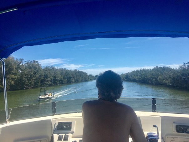
During my husband, Ed, and my recent 156 miles trip up the IRL, aboard ADRIFT, I contacted Duane DeFreese Ph.D., Executive Director for the Indian River Lagoon National Estuary Program. I called Duane because I knew why the southern lagoon looked better but was impressed by how good the water in the central and northern lagoon looked as well. No brown tide. No superbloom.
Since am unfamiliar with the waters north of the Treasure Coast, except by books, I wanted a scientific update. Well, boy, did I get it! See Dr. Duane’s comments below. Also included is the invaluable, recent St John’s Water Management District’s “June 20th Indian River Lagoon Conditions Update.”
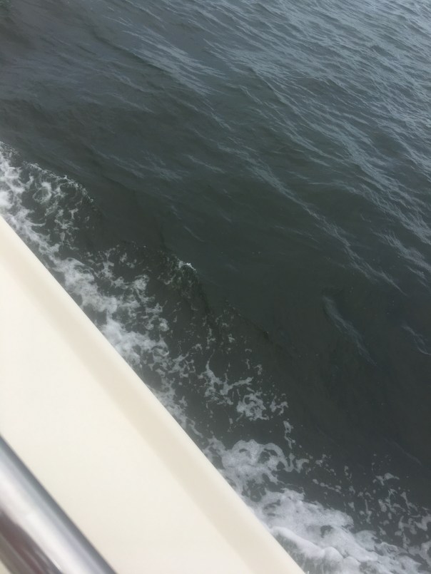
For visual input as well, I am inserting some of Ed and my photos, with comments, of our incredible journey along what is still considered to be one of the world’s most biodiverse estuaries. What a treasure! From north to south, we must do all we can to ensure a toxic-free future.
Keep up the fight!
Jacqui


JTL:
Duane, hi. Hope you are having a great summer. At this time, are there algae blooms reported in the IRL near Melbourne, the N. IRL north of Titusville, or anywhere in the Mosquito Lagoon? Thank you for letting me know. Jacqui TL
Duane DeFreese, Ph.D. Exec. Dir National IRL Estuary Program, http://www.irlcouncil.com
Conditions being reported to me by the local guides are consistent with the report and my own observations. Overall water quality looks pretty good, but small, patchy areas of poor water quality continue. The fishing guides tell me one day it looks great and a day later the same area will have color and turbidity (probably patchy bloom conditions). My personal observation is that we have been lucky so far and the system is vulnerable. I would not be surprised to see blooms intensify as we move deeper into summer and the rainy season. Lagoon water temperatures are also really warm. the SJRWMD Report documents that we have had patchy blooms occurring of multiple species. Two confirmed species of concern are Pseudo-nitzschia, a marine diatom and Pyrodinium bahamensis, a dinoflagellate. The worst water conditions continue to be in Banana River and in Sykes Creek. There are boater reports of patchy poor water quality in some areas of the northern IRL. The third species of significant recent concern has been Brown tide (Aureoumbra lagunendis). It was in almost in continuous bloom for most of last year in the Banana River. Bloom conditions have subsided. Aureoumbra thrives in warm, high salinity environments. It is not known to be toxic. Blooms of pseudo nitzschia, a marine diatom, can produce a neurotoxin called domoic acid. Blooms of Pyrodinium can produce saxitoxin. I expect that we will see patchy and flashy bloom conditions of multiple species throughout the summer. If we get lucky, I hope none of these blooms get intense enough to elevate toxin levels, low DO levels and fish kills. I’m very concerned about the slow recovery of seagrasses, even in areas of good water quality. Feel free to call me anytime. Have a great 4th July!
Indian River Lagoon Conditions Update June 20
JTL:
Dear Duane, thank you so very much for the super informative reply! I wrote because my husband and I are taking our maiden voyage in a trawler. We have gone from Stuart to Jupiter to Vero to Cocoa, north as far as possible in IRL, past Titusville, and today-through the Haul-over Canal into the Mosquito Lagoon. Not being familiar with these waters, all I have seen visually appears quite good compared to the St Lucie and even parts of the S. IRL. Some varying coloration is apparent, but overall seems good and in the north, many baitfish balls are shimmering under the surface and dolphin families are gorging themselves and teaching their young! We have seen many dolphins everywhere. Throughout Indin River County, Ospreys nesting in channel markers. One after the other! In the Mosquito Lagoon there were many more wading birds than S IRL. Even saw a few roseate spoonbills. I was not expecting it to be so full of life up here… a nice surprise. Not off the chart healthy, but marine and bird life very visible! I really appreciate the info you sent. I plan to blog on trip once home, so I can quote your knowledge. Happy 4th of July to you as well and I hope to see you soon.


Baitfish!


360 of the unforgettable Mosquito Lagoon:


Incredible footage of 4 dolphins in our wake near Ft Pierce welcoming us home!

Sister! So proud of you! Looks like a blast. Good writing also. ENJOY. >
I so miss you Mindy Morrall! Thank you! Come visit and let’s go for an adventure. Just like the old days!!!
Trip looked great! See you soon . Still afloat in NC Dan
>
Hi Dan! We think of you often. Ed tells me of your adventures! Thanks so much for sharing your dingy, engine, and trailer hitch. Really sweet you gave to us! To Adrift.
Thanks for the update as well as the geographical education of the East Coast for those of us on the West Coast!
Thank you Mike! Hopefully in the near future Ed and I can get ADRIFT to the west coast. Such a sysem you have! We toured it by boat last year and at one point, when I awoke, I thought I was in the Gulf of Mexico but we were in Charlotte Harbor! Such a large system! Incredible over there! Thanks for reading!
Great update Jacqui. I was not too familiar with the IRL status much up from the Treasure Coast either. This was very interesting. Thanks. Jay.
Sent from my iPhone
>
Thank you Jay. Yes so much to learn. Such a long and varying system. Lots to learn! Thanks for commenting.
It is wonderful we can all take a vicarious trip with you and Ed on ADRIFT. I love seeing the sights you see and learning as I “travel.” .
Mom you have inspired and are helping ADRIFT become a new way to tell the historic and present story of the SLR/IRL! Such a story!
My Daddy used to tell me tales about the unbelievable fishing in the Mosquito Lagoon. Great taking this trip with you two! Thanks for the updates on how things are doing.
I cannot begin to imagine what the Mosquito Lagoon was during your Daddy’s time! This entire IRL system is so interesting. Mosquito, Bannana, IRL south, central and southern. Really one of the most stiking in the world. Thank you Janet. I always so love your comments.
How awesome! Submarine next? 🙂
I would like to tell Duane Defreeze—-with all due respect—you are working for a couple of lieing no good politicians and as the truth comes out they will be more than happy to throw you under the buss.
As I sat on the dock with my fishing pole I saw a boat with MARINE RESEARCH on the side flying north about 60MPH. An hour later he is raceing south same speed. My research with fishing pole told me all I need to know—Wabasso is over run with catfish—small sharks and blow fish. Whiteys bait and tackle just north of sebastion inlet said there is a woman comeing in and buying ALL the bait and going across the road and letting it go in the ocean— Wasteing money like that has to be the state gov at work.
One dock north of where I am fishing in Wabasso is where we caught shrimp from doc all night under a light a mere 40 years ago. Friend would play guitar and sound would carry at sunset. Next to that house is Captain Forester Hammock that is now a state park. Before it was a state park I believe it is where a man who went to my moms church lived. My mom said he confessed that he would put bed springs under the water and invite people to fish there. then he would go under the water and get the lures they lost on the bed springs. He caught crabs for a liveing.None of that now —-just endless sharks —catfish—and blowfish that millions of fishermen have throwed back.